The Lane Beneath the Field: Following a Lost Boundary
A hedge, a hollow and a field name can preserve different parts of a landscape’s past. In an invented parish, follow how a boundary’s shape and name point towards several possible histories without forcing them into one.
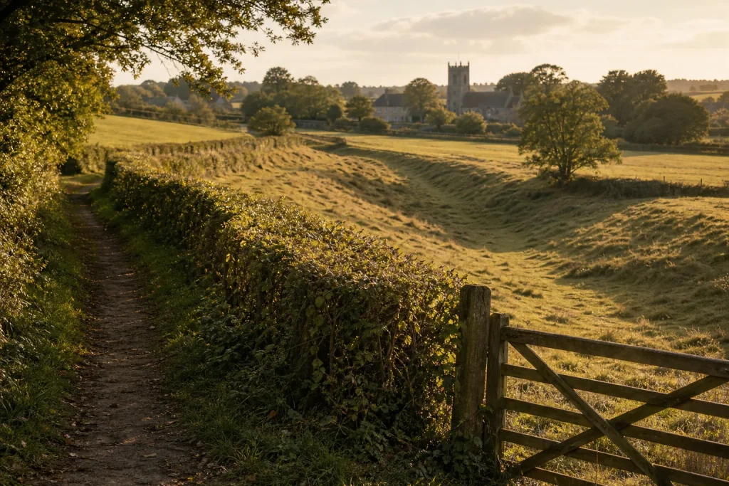
A hedge can keep the shape of a boundary long after the field it divided has changed hands. Beside a grassy hollow, it may even resemble a lost lane. Yet landscape clues often have more than one past: the hedge might mark a property line, the hollow might carry water, and a name containing “lane” might refer to a nearby track. Reading them together means asking what each clue can—and cannot—tell us.
Imagine an invented parish called Merecombe. Beside a public footpath, a long hedge runs towards a shallow hollow and ends at a farm gate. The field is labelled Lane Piece on a recent map. These are invented details, not evidence from a real place. They offer a useful puzzle: does the name remember a route, an old boundary, or simply the track beside the field?
A hedge can preserve an edge without preserving its purpose
At Merecombe, the hedge follows a straight field edge before bending towards the hollow. The footpath runs beside part of it. Beyond the gate, grass covers the hollow, with no visible metalling. That description keeps observation separate from interpretation: it does not call the hollow a road before there is reason to do so.
Hedges can outlast the arrangements that planted or maintained them. A bank beneath one may mark an older division; a ditch may reflect drainage; a gap may be a later farm entrance. Their shapes can suggest how land was organised, but they rarely identify a boundary’s date or original function on their own.
From the public path, note where the hedge changes direction, where the hollow fades, and whether the two stay together. A quick sketch can show the bend and the gate more clearly than a paragraph of impressions. Stay on the permitted route; do not cross fences or enter private fields to inspect a feature.
A hollow may be a route, a drain or both
The hollow points towards a stream crossing. On the far side, a track heads towards the church. That arrangement could fit a former route between village and crossing, but water, livestock and farm traffic can all shape the ground. Even a continuous-looking line does not reveal who used it or whether it was public.
Notice what interrupts the apparent connection. If the hollow stops before the stream, or the hedge turns away from the crossing, those breaks may weaken the route interpretation. They need not disprove it: a bridge may have moved, or later cultivation may have erased part of the line. The useful question is not whether every feature makes a neat story, but which explanations remain plausible when the awkward details are included.
Place names preserve associations, not automatic answers
“Lane Piece” sounds suggestive, but a field name can refer to a neighbouring lane, a former access track or a feature no longer visible. Its value depends on where and when the wording appears. An older map or estate record using a similar name for the same field would show that the association is not merely recent, though it still would not establish the lane’s precise use.
Names also shift in spelling and location. A record might use a variant that looks unfamiliar, or repeat a familiar name for a different plot. Keep each form tied to its source and location rather than quietly treating every similar label as the same name. Local record offices and map collections may hold estate papers or parish records that are not digitised; staff can help identify relevant material.
Read the boundary as a changing landscape
Imagine Merecombe’s walker finds an estate map with “Lane Piece” beside a line that follows the hedge towards the stream. The map supports an old association between the field name and that line, but does not label the line as a road. Meanwhile, the hollow ends before the crossing. The resulting interpretation is narrower than “this was the village lane”: the field edge may preserve a former boundary or access line, while the name leaves open a connection to a route.
This is a worked invented case, not a claim about a real parish. Its value lies in the distinction between a feature’s persistence and its original purpose. A hedge can survive several rounds of enclosure and cultivation; a name can outlast the thing it once described. Neither needs to preserve the whole story.
For Merecombe, the next useful question would be whether another source describes the line’s function: a map that labels a way, or a dated estate document that records access along it. Until then, the boundary is best described as a surviving landscape line with a possible connection to an older route. That wording leaves a clear place for further work—and keeps the field’s layered history open rather than forcing it into a single, tidy past.
Nearby stories
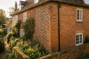
The Joint Between Two Eras: Brick Bonds as Building Clues
Read brick patterns as evidence of how a wall was put together, then compare them with…
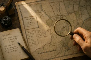
From Map Margin to Meeting Place: Reading an Old Parish Map
An old parish map can reveal how a place was meant to be understood. Its title,…